Quantarctica
A free GIS data package for Antarctica, the Southern Ocean, and the Subantarctic islands.
Quantarctica brings together a wide range of geospatial datasets for research, education, operations, and environmental management. It enables users to explore, visualize, integrate, and share geospatial data within a common GIS environment.
100%
Free and user-friendly
Quantarctica provides a user-friendly mapping environment with the free GIS software QGIS.
640+
Data layers
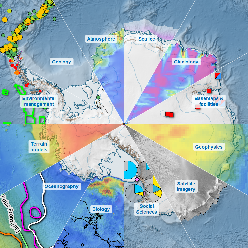
Quantarctica includes data layers in basemaps, satellite imagery, terrain models, and scientific data.
9
Scientific diciplines
Including physical and biological sciences, environmental management, and social science.
640+ data layers