A free GIS data package for Antarctica, the Southern Ocean and the Subantarctic islands
Quantarctica brings together a wide range of geospatial datasets for research, education, operations, and environmental management. It enables users to explore, visualise, integrate and share geospatial data within a common GIS environment.
The Quantarctica package
The Quantarctica data package comprises Antarctic geographic data from data centres worldwide – all wrapped in a project file that works on QGIS.

QGIS
Quantarctica is prepared for the use on on QGIS, a powerful, user-friendly, and open-source Geographic Information System (GIS).
GIS is designed to capture, store, analyse and view many types of geographical data.
QGIS supports a wide range of vector, raster, and database formats, connects to various online map services, and can be extended through plugins and scripting to meet diverse research and mapping needs.
QGIS works without Internet access, so you can bring Quantarctica to remote areas during field campaigns.
The basemap data
Quantarctica includes a comprehensive collection of Antarctic and Southern Ocean basemap data, such as coastlines, outcrops, elevation contours, research facilities, and place names.
These datasets are provided as vector layers in Shapefile format. The package also contains raster datasets, such as digital elevation models and satellite imagery, available in GeoTIFF, JPEG2000, and JPEG formats.
The scientific data
Quantarctica includes a range of scientific datasets organized into nine core themes:
- Atmospheric sciences
- Biology
- Environmental sanagement
- Geology
- Geophysics
- Glaciology
- Oceanography
- Sea sce
- Social sciences

Kenny Matsuoka
Project lead and scientific visualization

Anders Skoglund
GIS and cartography

Stein Tronstad
Data curation and license

Lotte Wendt
Data management

Anirudha Vijay Mahagaonkar
Data management
The editorial board of international experts review and recommend peer-reviewed scientific datasets.

Daniela Cajiao
Wageningen University & Research
Social sciences

Alexander Fraser
Australian Antarctic Program Partnership
Sea ice

Banjamin Hills
Colorado School of Mines
Glaciology
Rachel Leihy
Arthur Rylah Institute for Environmental Research & Monash University
Environmental management

Daniela Liggett
University of Canterbury
Social sciences
Kenichi Matsuoka
Norwegian Polar Institute
Editor-in-chief
Terrain models

Sebastien Moreau
Norwegian Polar Institute
Biology

Yoshihiro Nakayama
Dartmouth College & Hokkaido University
Ocenography

Brice Noël
University of Liège
Atmospheric sciences

Mirko Scheinert
TUD Dresden University of Technology
Geophysics
Anders Skoglund
Norwegian Polar Institute
Basemaps
Terrain models
Satellite imagery
Miscellaneous

Guy Paxman
Durhan University
Geophysics

Mattia Poinelli
University of California, Los Angeles
Oceanography

Catherine Ritz
University Grenoble Alpes & CNRS
Glaciology
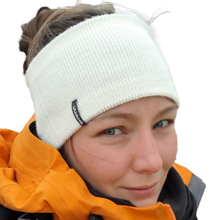
Antonia Ruppel
Federal Institute for Geosciences and Natural Resources
Geology

Elisa Seyboth
Universidade Federal do Rio Grande
Biology

Luke Trusel
Pennsylvania State University
Atmospheric sciences
Originally developed for internal use at the Norwegian Polar Institute, Quantarctica evolved into a publicly available platform for Antarctic research and geospatial data exploration.
The name Quantarctica is derived from the former name of QGIS (Quantum GIS) combined with Antarctica.
Development of the public version began in 2012, with the first release following in 2013.
Key milestones include:
- 2013 – First public release of Quantarctica
- 2014 – Release of Version 2 and recognition as a SCAR product
- 2018 – Release of Version 3, featuring a major expansion of scientific datasets and outreach activities
- 2019 – Release of Version 3.1
- 2021 – Release of Version 3.2